Two ways we read a Changing environment

Samaras’ swarm robotics make use of our unique capabilities in air monitoring and 3D mapping, giving you a precise, real-time read on an environment and how it’s changing

Capability #1

Air Sampling

Samaras’ revolutionary swarm sensing technology enables you to access capabilities in air monitoring beyond what is currently available. Drone swarms can cover wide areas, rapidly identify point emitters or chemical sources, and model the exact path particulates will take as they disperse

3D Grid Sampling

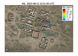
Measure particulates and gases across a full volumetric grid, not just a single point.
‍

Autonomous Source Isolation

Drones work together to map trace gas and aerosol concentrations, pinpoint emission sources, and detect leaks.

Compliance Tracking

Pursue sea or land vehicles in motion to monitor clean energy and emissions compliance.
Feature #1
Particulate Sampling

Detect PM10 and PM2.5 particulates from ground level to the edge of the troposphere.

Feature #2
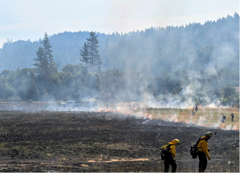
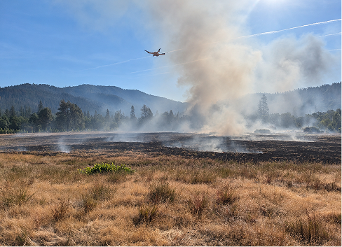
Prescribed Fire Planning and Monitoring

Identify high-risk areas before a wildfire develops, and monitor active burns.

Feature #3
Drift Analysis

Generate maps of particulate or gas dispersion based on real 3d sensor and wind data.

Feature #4
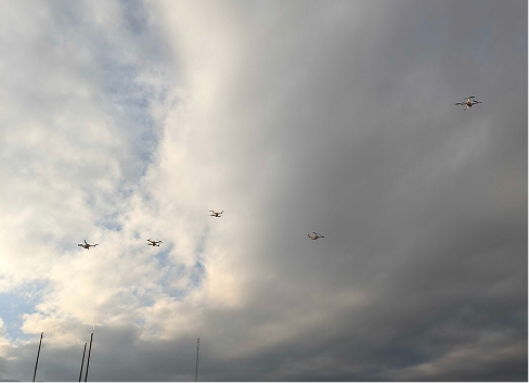
Ecoswarm of five drones flying in a cloudy sky with a mix of light and dark clouds and some antenna structures visible at the bottom left.
Point Emission Detection

Use flocking drones to identify areas of high or low impact.

Feature #5 | In development
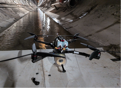
A black drone with four large propellers positioned on a white surface inside a long, curved tunnel with water running along the left side.
Indoor Gas and Particle Measurement

Indoor-capable drones access hazardous areas humans can’t.

Product in action

Video Gallery

EcoSwarm flights

The video shows ...

EcoSwarm in flight

The video shows ...

Capability #2

3D Mapping

Samaras’ swarm robotics open unique opportunities in the mapping space. With the EcoSwarm system, swarm drones image a large area in a fraction of the time a conventional drone would take, reducing effects from shadows, tides, and currents on the resulting 3D splat.

Rapid Area Coverage

Swarm drones image large sites in a fraction of the time a single conventional drone would take.

Shadow & Tide Correction

Faster coverage means less distortion from shifting shadows, tides, and currents across a capture.

Volumetric Assessment

Convert 3D splats into precise volumetric data for measuring how a site is shaped and how it changes.

Feature 1
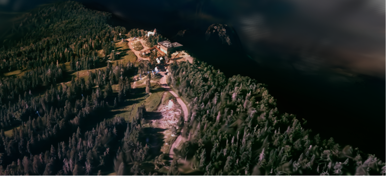
Aerial view of a forested area with a cleared section containing buildings and exposed earth, surrounded by dense trees and shadowed water or dark terrain.
Erosion Mapping

Generate 3D maps of environmental phenomena like erosion.

Feature 2
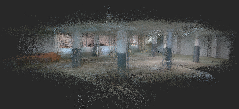
A 3D point cloud representation of an indoor space showing columns and walls in a partially constructed or empty building interior.
Indoor Mapping

Conduct infrastructure inspection indoors, in hard to reach places.

Feature 3
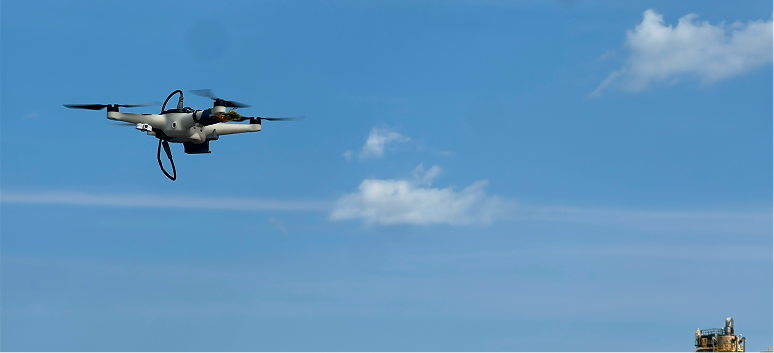
Small drone flying in a clear blue sky with a few scattered clouds, above an industrial building on the horizon at the bottom right corner.
Swarm Map Generation

Obtain large-area data in small-scale time through flocks of collaborative mapping drones.

Feature 4
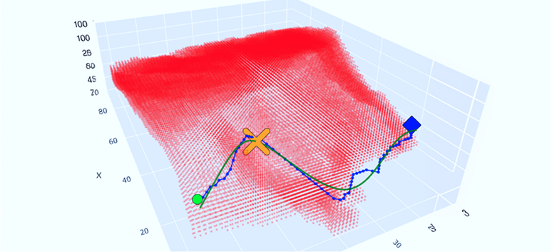
3D scatter plot with red points forming a surface, overlaid with a blue square marker, an orange 'x' marker, and a green circular marker connected by blue and green lines depicting a path in the X-axis range approximately 20 to 80 and Z-axis from 0 to 100.
Volumetric Estimation

Calculate impacts from landslides or landfills through splat-based volumetric assessments.

Let’s map what matters.

Making the world a better place, one little drone at a time.