How We Work

From flying the mission to telling its story, Samaras' team carries your project end to end.

Four services, one team

01

Drone Pilots & Operators

Certified crews to plan and fly your missions.

02

Image Processing & Mapping

Raw flight data turned into accurate, usable maps.

03

Interactive Data Visualizations

Explore findings through live, interactive views.

04

Custom Designed Hardware

Request modifications to our existing hardware to suit your needs
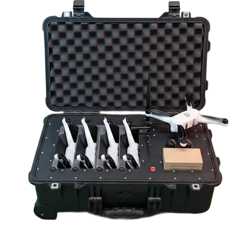
Black hard carrying case with foam padding inside holding four white handheld devices with wrist straps and one white drone with black propellers along with a small cardboard box.
Service #1

Operating Drones

Samaras’ operations team is available to plan and fly missions on behalf of our customers for short term missions, or can train customers to operate our drones themselves. We can also help you get certified to fly with our team of experienced FAA liaisons.

Certified Pilots

Part 107, FPV, and swarm-certified crews for any mission type.

Rapid Deployment

On site and in the air within two weeks of award.

Service #2

Image Processing & Mapping

Raw flight data becomes a finished map in the hands of Samaras' computer vision team, who turn every capture into something you can act on.

Computer Vision Team

In-house engineers dedicated to processing and mapping.

Enhanced Capture Quality

Image cleaning and filtering to maximize every flight's return.

Service #3

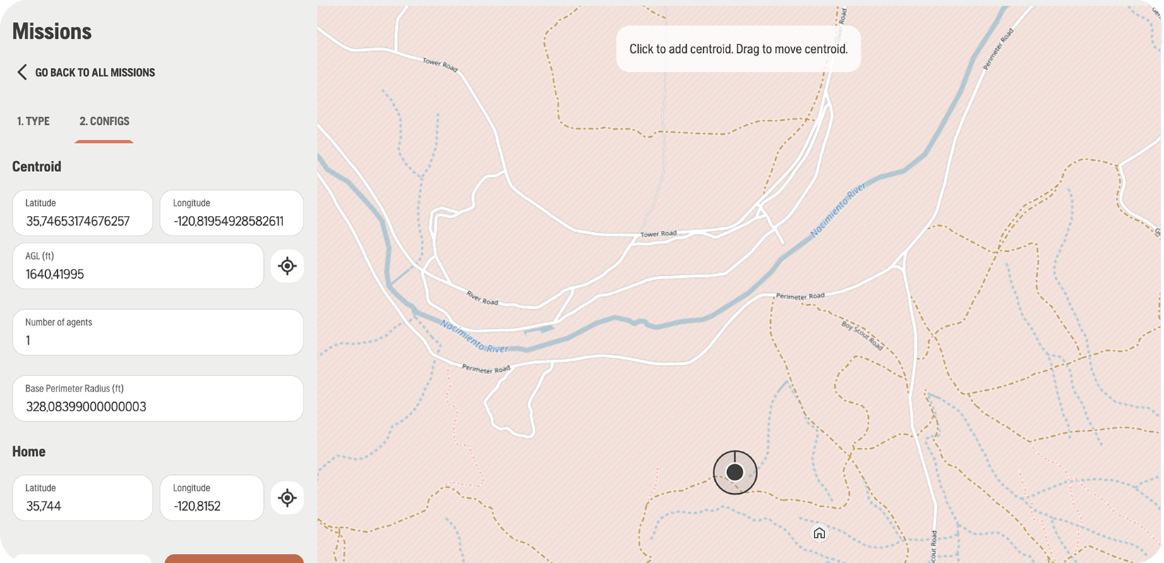
Interactive Data Visualizations

Data only matters if the people reading it understand what it means. Samaras builds the interfaces that make that possible.

Built for End Users

Applets and interfaces built for developers, contractors, and communities.

Full-Continuum Web Team

In-house developers handling every data source and format, start to finish.

Screenshot of a mission configuration interface showing latitude and longitude inputs for Centroid and Home locations, AGL, number of agents, and base perimeter radius. The right side shows a map with terrain lines, rivers, roads, and a draggable centroid marker with a tooltip saying 'Click to add centroid. Drag to move centroid.'
Service #4

Custom Designed Hardware

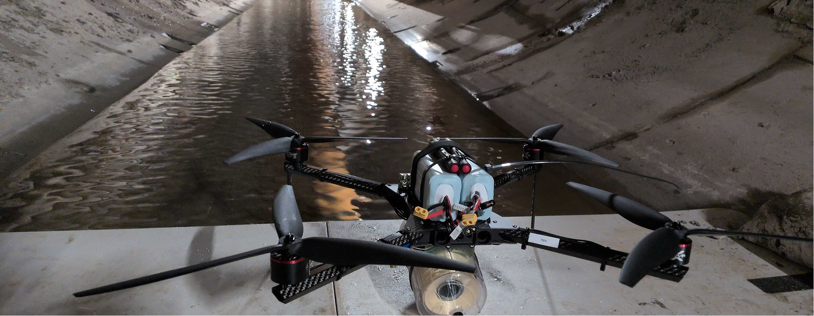
Samaras can adapt any of our existing drone platforms for your needs, whether its adding particulate sensors to our EcoDrones to monitor pollution, or adding fiber optic cabling to our camera drones for underground infrastructure inspection.

A black drone with four rotors positioned on a flat surface inside a concrete drainage tunnel with water flowing through the center.
GET STARTED

Have a contract that needs regular flights?

Samaras can walk you through the FAA certification process and train you to fly our products when you purchase them, or fly for you ourselves on-site. Whatever your need, Samaras can make it happen.

Let’s map what matters.

Making the world a better place, one little drone at a time.